


01 / Visible in the images
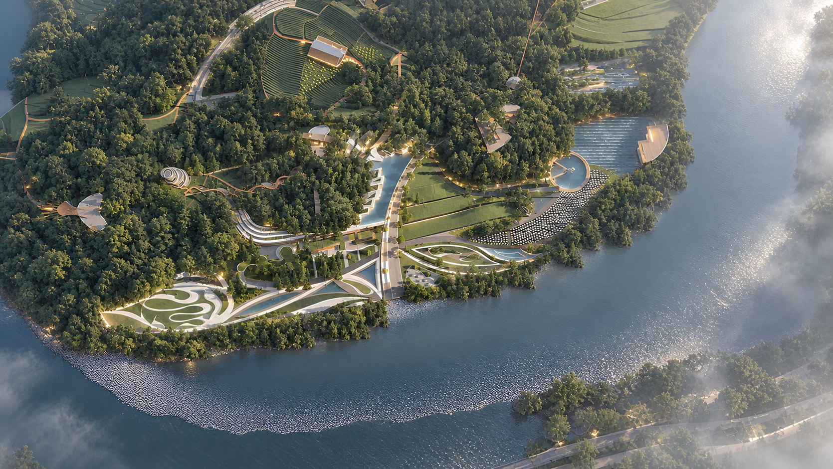
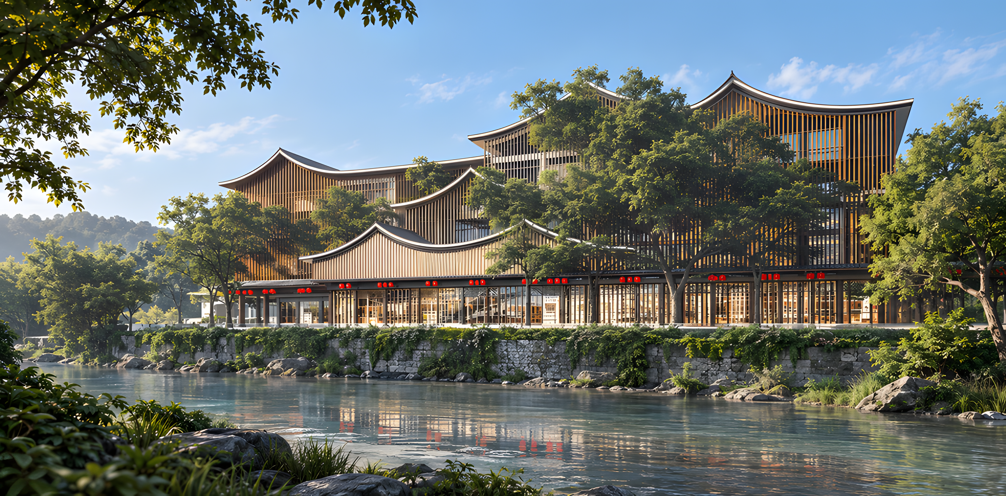
The aerial image shows a river, water, bridges or crossings, planted banks and connected pedestrian paths.
CASE ARCHIVE / 27 — 52
IMAGE SOURCEHSD case archive images; project attribution and image types have been verified image by image by HSD.
This page presents authorized project source images. The project facts below reflect confirmed information; unlisted fields are not inferred.
IMAGE-LED READING
This reading separates what is directly visible from interpretive design clues. Year, area and completion status are not inferred from the images.
01 / Visible in the images
The aerial image shows a river, water, bridges or crossings, planted banks and connected pedestrian paths.
02 / Design reading
Water acts as a landscape focus and divides the routes into different edges; village-renewal and historical claims need reliable sources.
SOURCE IMAGE ARCHIVE